Exploring the Silver Island Mountains on an ATV | Adventures with Quadman

Exploring the Silver Island Mountains on an ATV
Exploring the Silver Island Mountains on an ATV
Before travel restrictions became so tight back in March, I took a chance to ride some trails on the Utah side of the Nevada border near Wendover. The plan was to meet at exit 4 off I-80 with members of the NUATV Club at 9 a.m.
I was loaded and ready to go the night before, but when I opened my garage door, I was greeted with snow – my truck was covered with it! I was having trouble believing the weather forecast in Wendover being in the 50’s and dry. Being torn between wanting to ride and the bad weather, I had to kick myself out of the house. I knew that I was going to be late, but I hoped I could find their tracks and catch up.
As I passed Lake Point on I-80, I was watching the temperature gauge on my instrument cluster. 37 degrees was not promising, but I was committed. I finally reached exit 4 and found the staging area. The trucks were there, but it was 9:20 a.m. and everyone was gone. However, true to the forecast, it was dry and the temperature was great for a ride. I mounted up and headed west climbing a trail up to a flat area on the side of the mountain. Scanning the area east and north, I found no smoke (that means no wagons, Kimo Sabe – to understand, watch old Lone Ranger episodes).
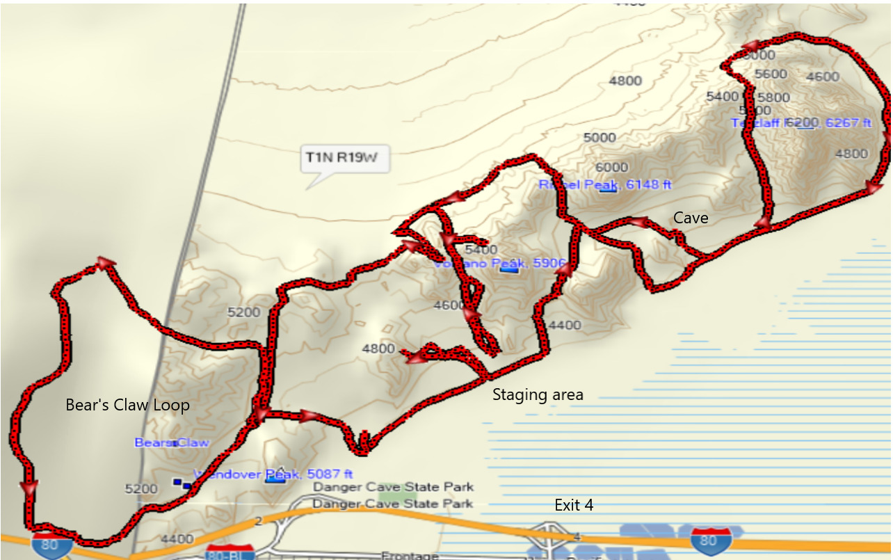
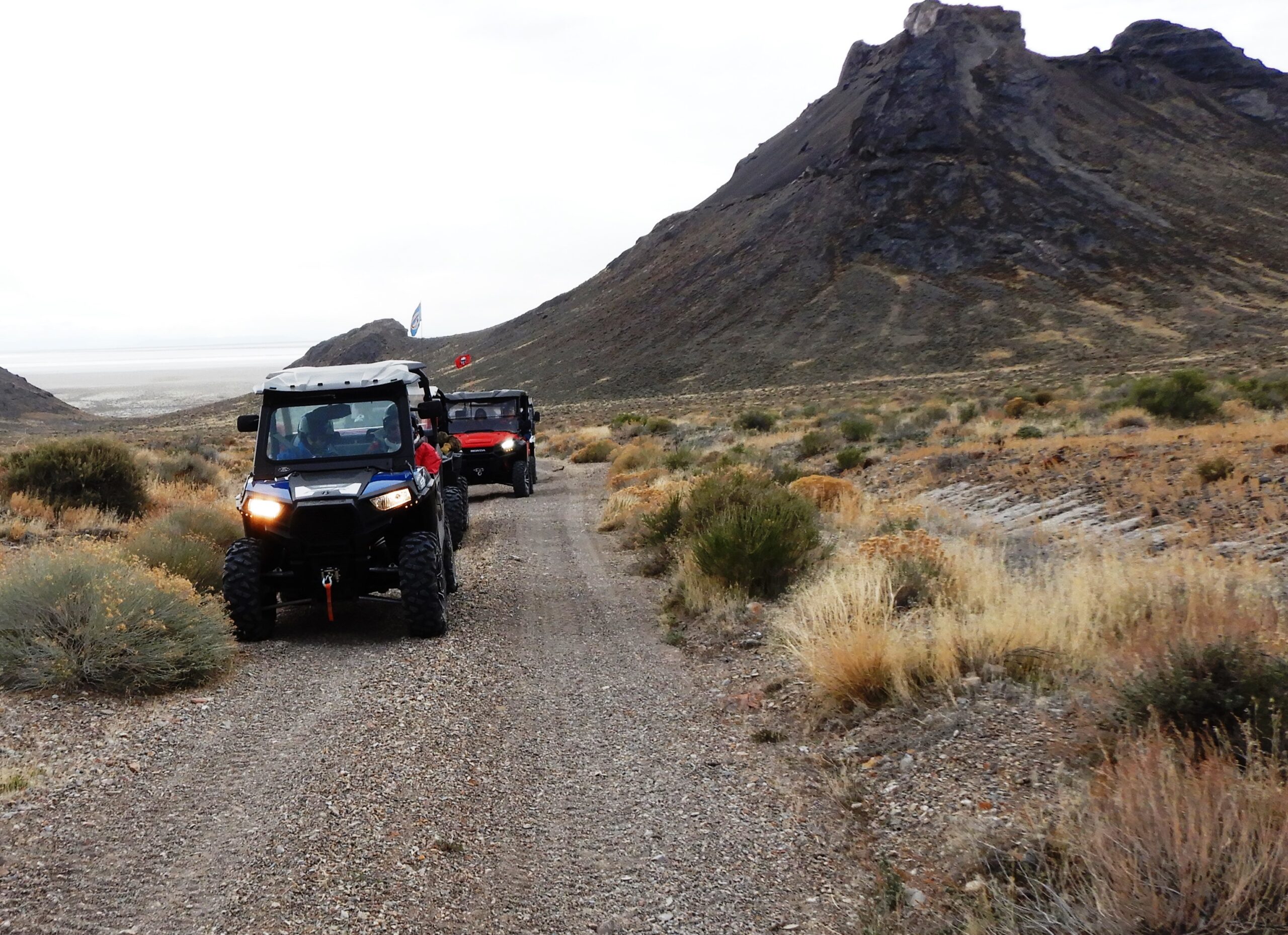
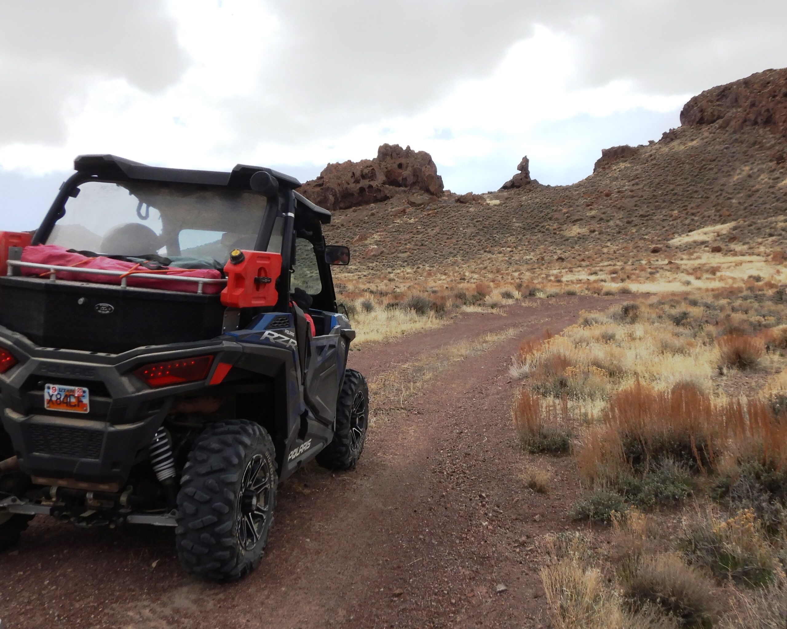
Riding back down to the trucks, I decided to take a trail north to see what I could find. The track went over a saddle just to the east of Volcano Peak and into a valley just below Rishel Peak. It was a fun trail with some challenging spots. As I was descending from the saddle, off to the east I spotted smoke. Several riders were coming west up a sandy wash that I was just about to drop into. They turned out to be friends from the club, whom I was looking for.
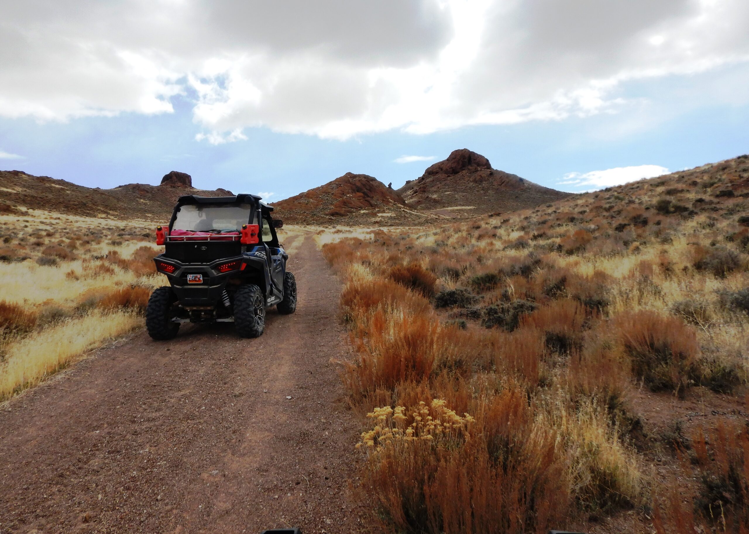
Joining up, I followed them down to the main road that circles the Silver Island Mountain Range. Part of this road was taken by the early pioneers that made up the fateful Donner-Reed Party. At this point, these pioneers had finished a grueling trek across the salt flats and the worst of their journey was still ahead of them. Turning east we took a path that climbed the east side of Tetzlaff Peak.
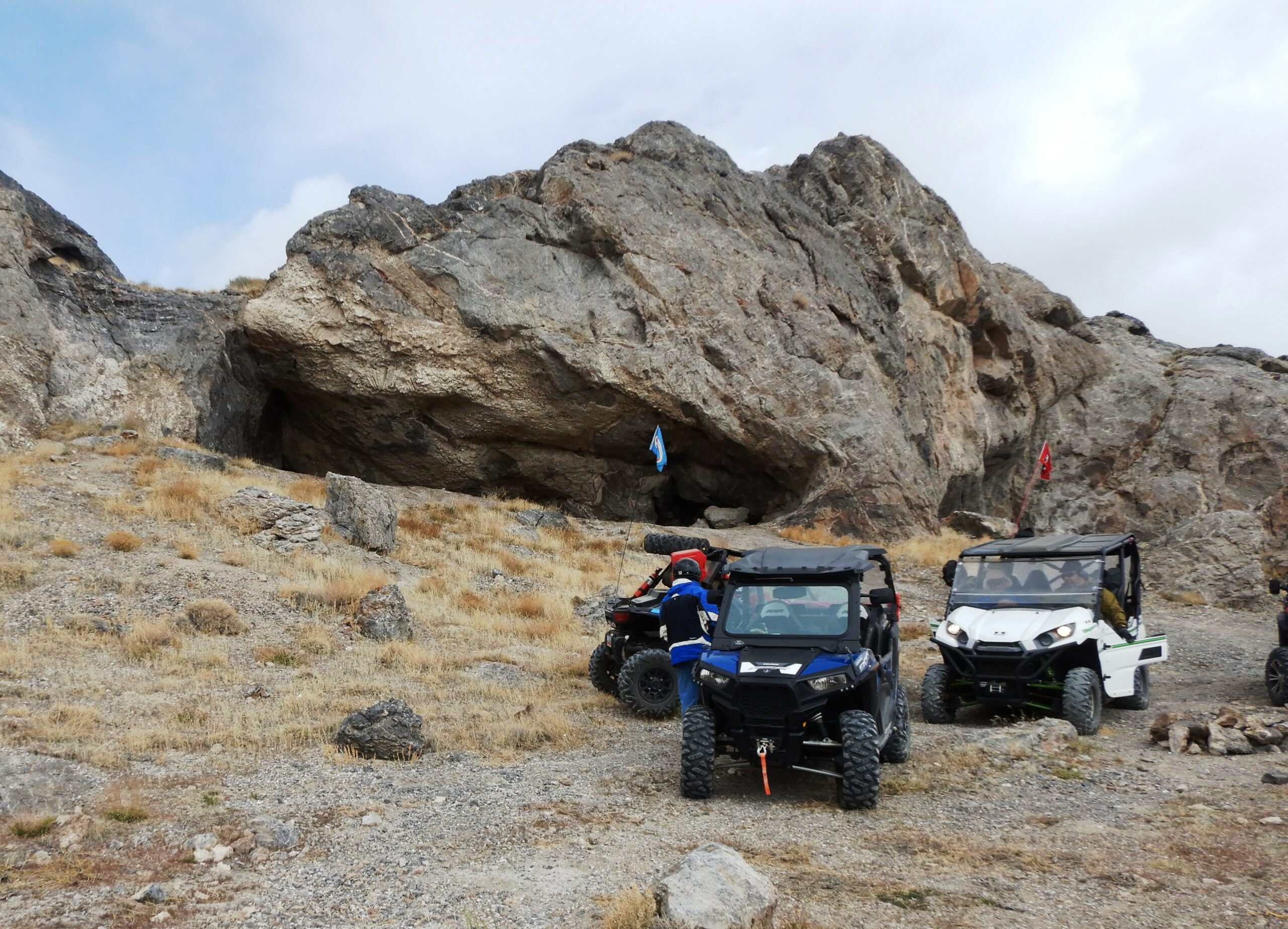
The trail topped out on a shoulder of the peak at 5,400 feet. While the tip of the mountain is 6,200 feet, we were high enough to have a beautiful view of the valley and into Nevada. After taking a break to enjoy the view, we rode down the other side of the mountain, skirting around the base on the north slope. Turning south, we found a cave about halfway up Rishel Peak.
Taking the trail up to the cave, we decided it was a great place for lunch. These friends have taken the lunch break to another level. Not only were their lunches gourmet, but they also broke out camp chairs and camp tables on which to eat. I sat on a rock and ate my less than gourmet chicken salad sandwich. It was good, but I hate to be outdone when it comes to food. Not wanting to have a large group, we split up and I led four riders from the cave.
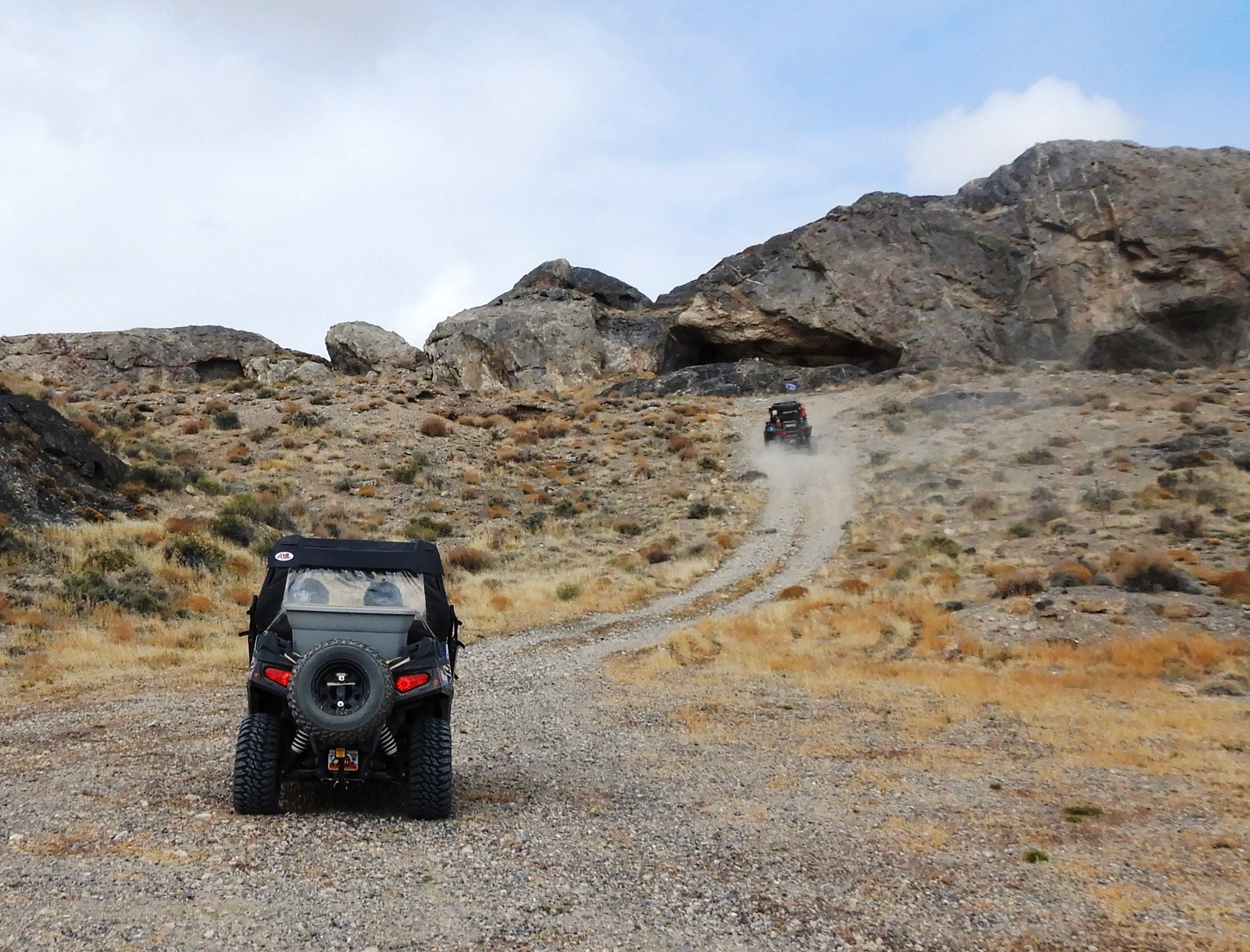
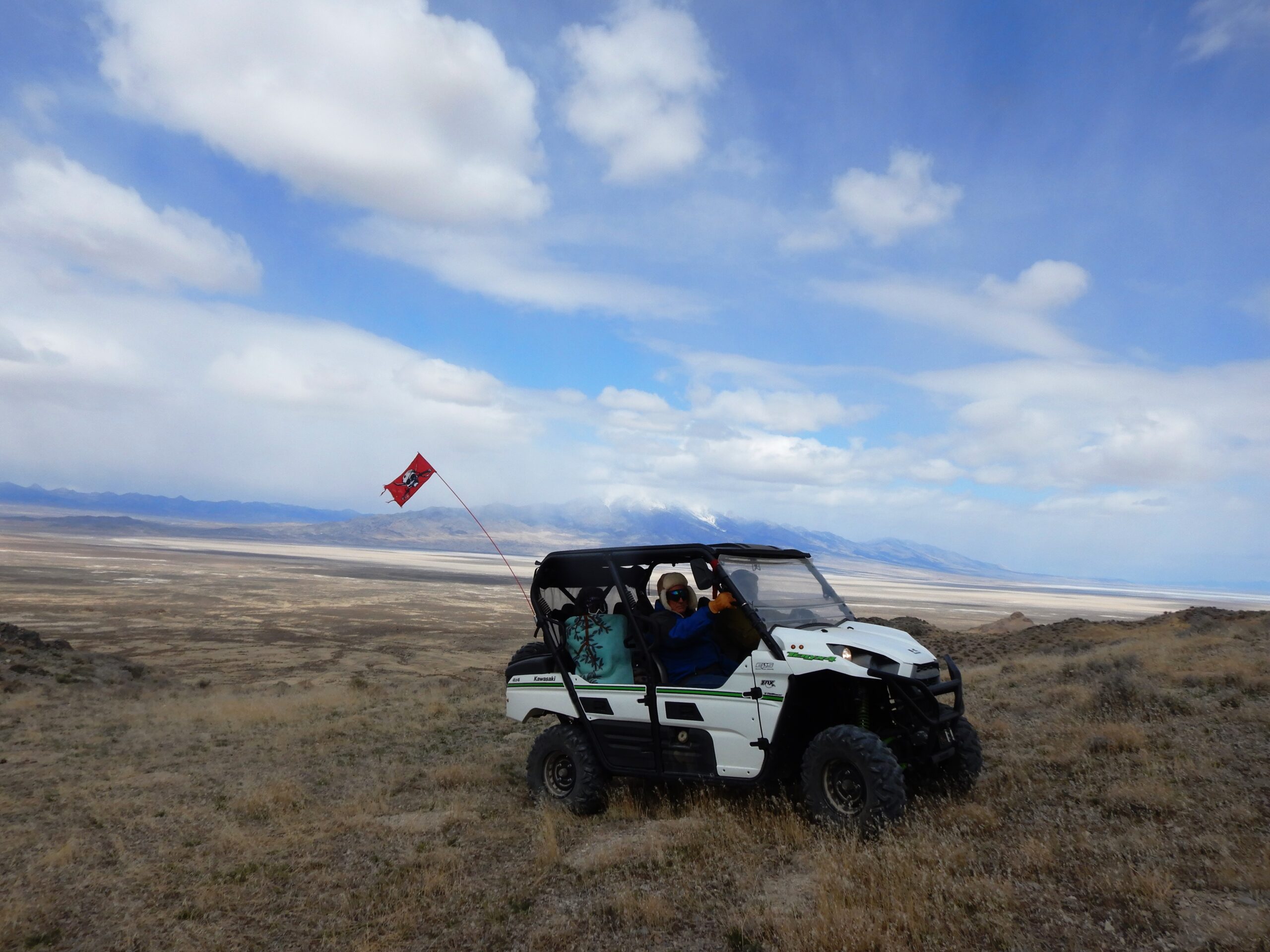
We headed west up over Rishel Peak and southwest just below the ridge to Volcano Peak and then to the base of Wendover Peak. We thought about climbing the peak, but seeing an array of communication towers we didn’t think we would get very far. Instead, the map showed a loop that would take us across the border into Nevada and around an area called the Bear’s Claw.
The loop was a fun track that brought us around a mountain and down near the west side of Wendover. We found trails that took us north of the city and through Dairy Canyon back by Wendover Peak to our staging area. The Silver Mountains provide a great place to ride in the spring or fall. There aren’t many trees to find shade, but there are old mines to visit and the cave where we had lunch was a fun find. The ride was about 52 miles and the trails were suitable for UTVs.
When you go take plenty of water, keep the rubber side down and try these trails after the restrictions are lifted.